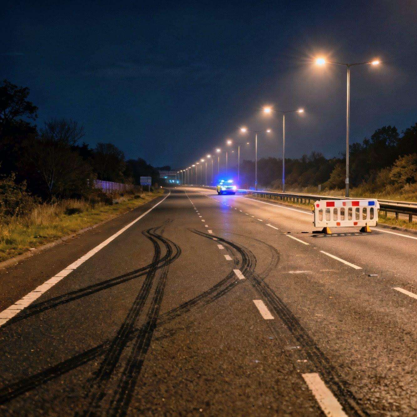
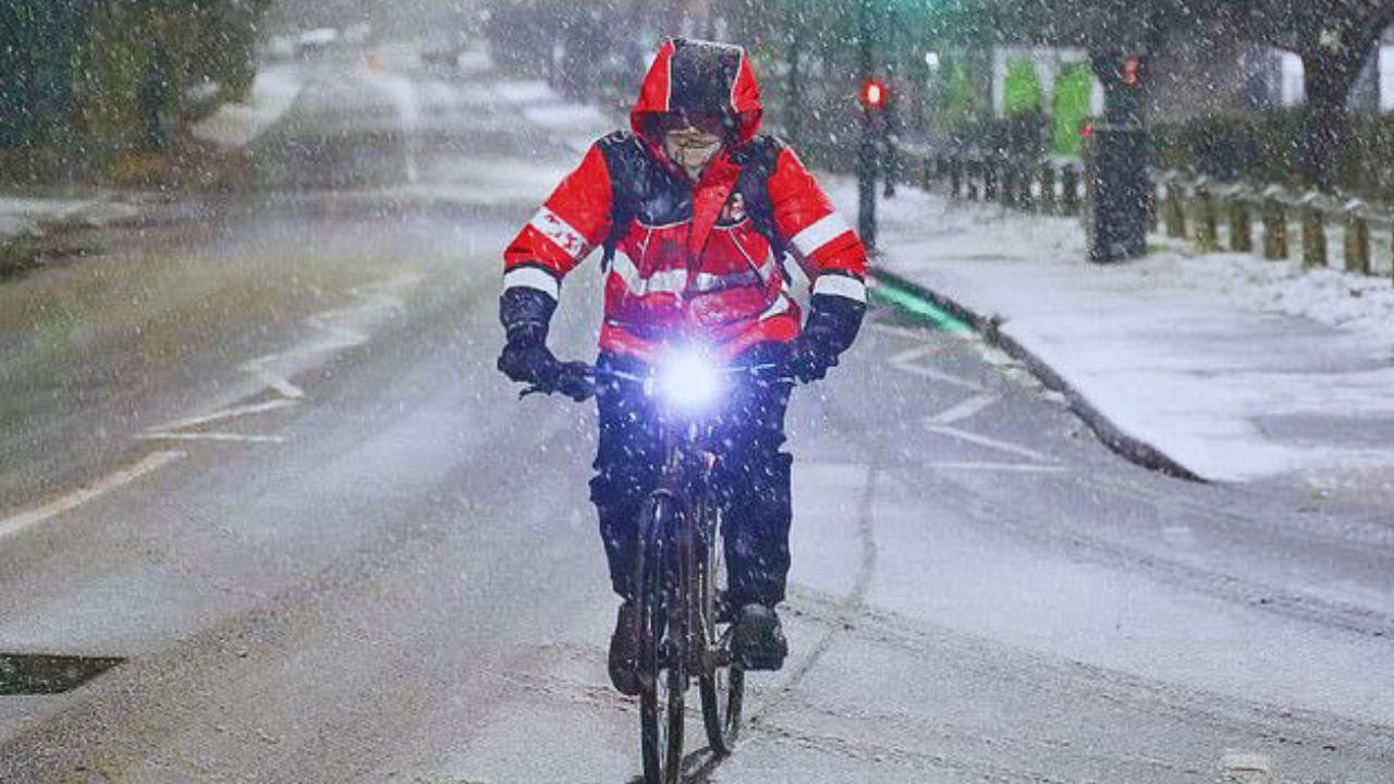
With up to 16 inches of snow blocking roads and heavy rain and winds predicted to severely hamper traffic and possibly cause flooding, Storm Bert has struck again.
With weather warnings and 16 flood alerts in effect throughout the UK, rail companies are encouraging passengers to avoid particular locations and some have warned of restricted services.
Between 5 a.m. and 3 p.m. on Saturday, National Highways issued a "severe weather alert" for snowfall in Yorkshire and northeastern England.
An amber alert for heavy snow and ice is in force between 7am and 5pm on Saturday in areas across Scotland, where 10-20cm is likely on ground above 200 metres and potentially as much as 20-40cm (16 inches) on hills above 400 metres.
The weather warning covers parts of Angus, Perth and Kinross, Stirlingshire, Aberdeenshire and some of the Highlands, Argyll and Bute, the Borders, Dumfries and Galloway, East Ayrshire and South Lanarkshire.
It comes after a weather map revealed where Storm Bert is set to batter the UK this weekend.
In Yorkshire, the A628 remained closed overnight in both directions between the A616 Hollingworth and the A57 Flouch due to snow, National Highways announced. The A66 Trans-Pennine route was also closed between the A6 and the M6 (J40).
Perth and Kinross Council cancelled its annual Perth Christmas lights switch-on event over safety and travel concerns.
Ferry operator CalMac - which serves the west coast of Scotland - has cancelled several sailings on Saturday with disruption expected on many other services.
P&O Ferries also said it had cancelled the 4am sailing between Larne in Northern Ireland and Cairnryan in Scotland's south west on Saturday.
A second amber warning will be in place between 7am and midday on Saturday covering parts of Yorkshire and the north east of England.
Yellow wind, rain and snow warnings cover much of the rest of the UK on Saturday and into Sunday.
Met Office meteorologist Aidan McGivern said the storm's arrival was following a 'relatively quiet' night on Friday with temperatures at around minus 4C across parts of Scotland and minus 1C in eastern England.
'We'll see two to four hours of heavy snow across parts of northern England and Scotland during Saturday morning,' Mr McGivern said.
'This snow will accumulate thick and fast, with five to 10cm at lower levels and as much as 20 to 40cm over hills accompanied by strong winds.
'You can expect blizzards over hills across northern England and Scotland, atrocious conditions for travelling and going over the hills and also the risk of power interruptions because of snow build up on power lines.
Network Rail Western tweeted this image of snow on a train in Devon on Friday, saying: 'Heavy snow means that no trains are able to run to Barnstaple until noon, or Okehampton until 4pm'
'So all in all, a multiple hazard event as we go into Saturday morning.'


.svg)


