


.jpg)


_1.jpg)
.svg)
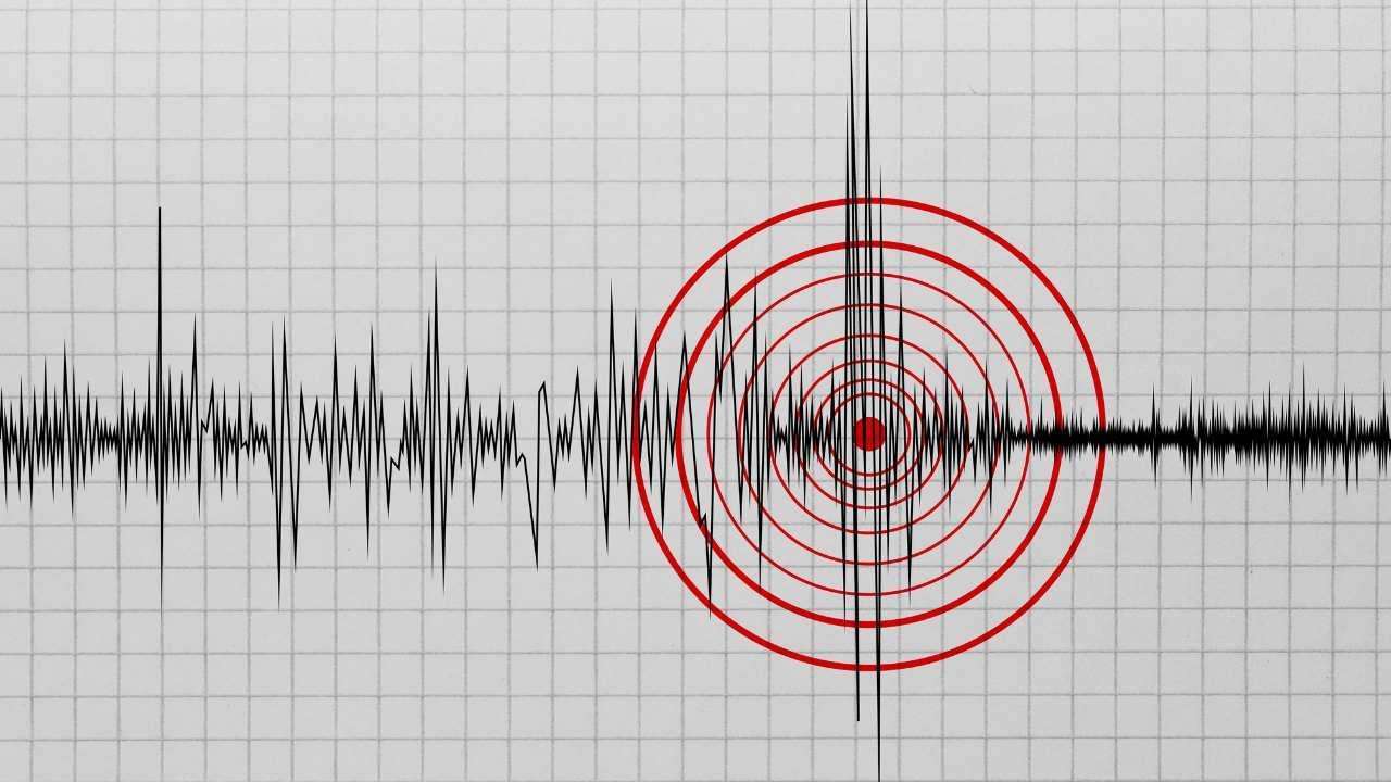
A significant magnitude 5.6 earthquake struck the Morigaon district of Assam, India, early Sunday morning, triggering widespread alarm across South Asia. The seismic event, which occurred at approximately 4:47 AM Bangladesh Standard Time (BST), sent powerful tremors through Bangladesh, India, Nepal, Myanmar, Bhutan, and southern China. According to preliminary data from the United States Geological Survey (USGS) and the National Center for Seismology (NCS) of India, the epicenter was located roughly 14 kilometers from Morigaon, originating at a shallow depth that amplified the vibrations felt in urban centers.
Residents in Sylhet and surrounding northern districts of Bangladesh reported being jolted awake by the shaking, which lasted for several seconds. While initial reports indicate no immediate casualties or major structural collapses in the region, the recurrence of moderate-intensity tremors has renewed urgent warnings from geologists regarding the area’s underlying tectonic instability. The quake’s impact was most pronounced in the northeastern regions of India and Bangladesh, where the proximity to the epicenter caused significant panic among local populations.
Mistaken Identity: Man at London Event Misidentified as War Criminal Chowdhury Mueen-Uddin
Sylhet Faces Unprecedented Risk Amidst Seismic Shift-While the tremors were felt across several nations, experts identify the Sylhet division of Bangladesh as the region facing the most critical risk. Geologically situated atop the confluence of the Indian, Eurasian, and Burmese plates, Sylhet is positioned directly south of the dangerous Dauki Fault. This 300-kilometer-long active fault line, running along the border with the Indian state of Meghalaya, has long been a focal point for seismic anxiety. Historically, this fault was responsible for the Great Indian Earthquake of 1897, which devastated the region, and experts warn that it has been accumulating significant tectonic stress for over a century.
The vulnerability of Sylhet is exacerbated by its soft sedimentary soil and a high concentration of aging or poorly constructed high-rise buildings. Seismologists from the Bangladesh Meteorological Department and various academic institutions emphasize that even a moderate quake originating closer to the Dauki Fault could prove catastrophic for the city. Unlike many other regions, Sylhet is subject to both locally generated tremors and those migrating from the Assam-Meghalaya seismic belt. The recent 5.6 magnitude event serves as a stark reminder of the pressure building beneath the Surma Basin, where the subsurface geological structure can amplify seismic waves, potentially leading to widespread soil liquefaction.
As the region continues to experience frequent minor and moderate tremors, the risk profile for Sylhet remains at an all-time high. Urban planners and disaster management authorities have repeatedly called for stricter adherence to the Bangladesh National Building Code (BNBC), noting that a magnitude 7.0 or higher event along the Dauki or Kopili faults could cause irreversible damage to the city’s infrastructure. For now, the focus remains on monitoring aftershocks and evaluating the structural integrity of buildings in the northeastern belt, as the threat of a "mega-quake" continues to loom over one of the most densely populated and seismically active zones in the world.


.jpg)