


.svg)
The UK Met Office has confirmed a significant European heatwave is imminent, with temperatures forecast to rise sharply from today, 17 June, and peak between 22 and 26 June. This early-summer heat blast is expected to bring “high 30s, 40C, 41C” to inland areas of Spain, France, and Portugal, with the most extreme scenarios potentially seeing 45C, according to meteorologist Aidan McGivern. The forecaster noted that current models may actually understate the most extreme peaks by a couple of degrees.
This developing situation is being driven by a powerful 'heat dome' forming over Western Europe, and it is already raising concerns that this second heatwave of 2026 could be more intense and prolonged than the exceptional hot spell experienced between late May and early June. The heat dome, a phenomenon caused by a powerful high-pressure system trapping hot air over a vast area, is expected to be the primary driver of these soaring temperatures.
Spain – Spain’s national weather agency, AEMET, has issued high temperature warnings, forecasting a “notable rise in temperatures” over the weekend and into next week. Cities like Seville, Zaragoza, and Cordoba are expected to face the most severe conditions, with thermometers nearing 40°C. AEMET has warned that temperatures could climb above 40C in parts of the country, potentially making it some of the hottest weather seen so far this year.
Portugal – Portuguese news outlets are reporting the country is “on the verge of a new and potentially severe heatwave,” with temperatures forecast to exceed 40°C across large parts of the country and potentially reach 45°C in some inland areas next week . The interior south of the Iberian Peninsula could see the most extreme highs of 43°C to 45°C.
France – Météo‑France has warned that the country could experience some of its earliest record-breaking heat, with peaks of 40°C anticipated on Sunday, 21 June, in the Paris region, the Rhône Valley, and Poitou‑Charentes. In addition to the extreme daytime highs, meteorologists are highlighting the significant health risks posed by 'tropical nights,' where temperatures may not drop below 25°C, offering little overnight relief.
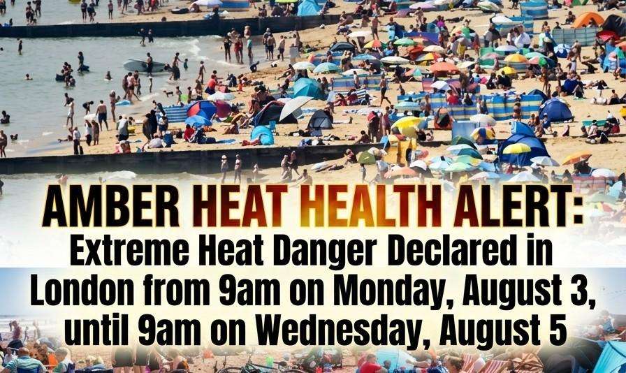
The intense heat building over the Continent is set to influence the UK's weather. As the jetstream edges north, this warm air is expected to flood into the UK over the weekend and into next week. Temperatures could reach 27°C in parts of North Wales and 31°C in London by Monday, 22 June. Some outlier weather models even suggest the heat could become more extreme, with the mercury potentially hitting 32°C in North Wales and southern England possibly threatening the UK's June temperature record . The Met Office has cautioned that while these extreme model runs are currently seen as less likely, they are situations to monitor closely. The UK Health Security Agency (UKHSA) has already issued yellow heat health alerts for several regions in England, including London and the south-east, from 17 June until 22 June, as demand for health and social care services is expected to increase.
The current forecasts are building on the back of a record-breaking May, where temperatures in the UK hit 35.1°C at Heathrow and Kew Gardens, marking the highest-ever May temperature for the second consecutive day. This new heatwave, following so closely on the heels of that event, underscores the increasing frequency and intensity of extreme heat events in the region. Meteorologists note that this heatwave is occurring just weeks after a deadly hot spell swept across the continent, in which multiple fatalities were recorded in France and the UK. Daily Dazzling Dawn will continue to monitor the situation and provide updates as the heatwave develops.